- Mark as New
- Bookmark
- Subscribe
- Mute
- Subscribe to RSS Feed
- Permalink
- Report Inappropriate Content
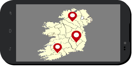
Hello to all, I just started to work with Intel XDK to make an App. During the work I found a problem to create a local map zoomable and interactive. I tried varied solutions, but since I have little time because this is a project for school, I decided to ask in the forum to make no mistake. The type of map that I want to do is composed by a normal png or svg file which represents a portion of country where I mark some cities and, if I click in this marker, it linked me in another page of App. (see the figures).
The question is: how can I do a interactive map zoomable using Intel XDK ?
Thanks in advance
- Tags:
- HTML5
- Intel® XDK
.png)
Link Copied
- Mark as New
- Bookmark
- Subscribe
- Mute
- Subscribe to RSS Feed
- Permalink
- Report Inappropriate Content
We are not staffed to help you with HTML5 programming issues. Please check StackOverflow and other HTML5 sites for things like "cordova zoom maps" or similar search terms. The XDK creates Cordova apps, so programming solutions you find for Cordova will work in the XDK.
- Subscribe to RSS Feed
- Mark Topic as New
- Mark Topic as Read
- Float this Topic for Current User
- Bookmark
- Subscribe
- Printer Friendly Page